
Track Every Storm
Professional-grade tropical weather monitoring and alerts
Se habla español
Professional-grade tropical weather monitoring and alerts
Se habla español
Hurricane tracking that works when you need it most
Plain language summaries translate complex NOAA forecast discussions into easy-to-understand English, with location-specific impacts when relevant.
Choose your coverage: Basin-wide alerts for all activity or location-specific alerts for storms threatening your areas. Real-time notifications via email, SMS, Discord, Slack, and Pushover the moment NHC releases updates. Supports 44 countries and territories for location-based alerts.
Full Spanish language support for all alerts and products.
Soporte completo en español para todas las alertas y productos.
Comprehensive guides covering hurricane formation, forecast interpretation, preparedness tips, evacuation planning, and post-storm recovery.
Whether you're checking on family, protecting your business, or conducting research - we speak your language
New to hurricanes? Our AI explains complex forecasts in plain English, so you know exactly what to expect.
Been through this before? Get detailed tracking, model comparisons, and early alerts tailored to your location.
Need the raw data? Access ATCF feeds, aircraft recon, and comprehensive APIs for your professional workflow.
Here's how we present the same Hurricane Barry forecast to different users:
What you need to know: Hurricane Barry is currently 185 miles southeast of New Orleans. It's expected to make landfall Saturday morning as a Category 1 hurricane. Main concerns are heavy rainfall (10-15 inches possible) which could cause significant flooding. If you're in the warning area, complete preparations today.
HURRICANE BARRY DISCUSSION NUMBER 8
NWS NATIONAL HURRICANE CENTER MIAMI FL       AL022019
1000 PM CDT FRI JUL 12 2019

Barry continues to exhibit a wind shear pattern with the center exposed on the western edge of the convection. The eyewall remains open to the west due to 15-20 kt of westerly shear. Despite the shear, Air Force Reserve reconnaissance data indicate that the maximum winds have increased to 65 kt, and the central pressure has fallen to 993 mb. The initial motion is 315/5 kt.

Barry is forecast to turn northward overnight and make landfall along the Louisiana coast on Saturday. The track guidance remains in good agreement on this scenario, with the main difference being exactly where and when landfall occurs. The NHC track forecast is close to the various consensus models.

The hurricane has about 12-18 hours over water before it makes landfall. During this time, the sea surface temperatures are expected to be 28-29C, which would normally support intensification. However, the moderate westerly shear is expected to continue, which should limit strengthening. The NHC intensity forecast shows Barry reaching 75 kt before landfall, which is at the upper end of the guidance. After landfall, rapid weakening is expected as the cyclone moves inland over Louisiana and Arkansas.

The main hazard from Barry continues to be heavy rainfall. Widespread rainfall amounts of 10-15 inches are expected across southern Louisiana, with isolated amounts to 20 inches possible. This will likely result in dangerous, life-threatening flooding in these areas. Storm surge of 3-6 feet is expected along the Louisiana coast, particularly east of the center.

KEY MESSAGES:

1. There is a danger of life-threatening storm surge inundation along the coast of southern and southeastern Louisiana.

2. The slow movement of Barry will result in a long duration heavy rainfall and flood threat along the central Gulf Coast and inland through the lower Mississippi Valley through the weekend and into early next week.
Same data, presented at the level of detail you need
Get the actual storm data you need to make informed decisions. Direct access to the science behind the forecasts.
Choose the plan that fits your needs
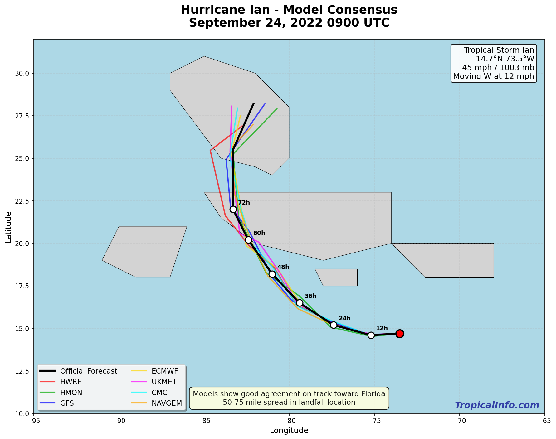
TropicalInfo takes the raw forecast data from NOAA and NHC and presents it in a straightforward, accessible format.
Real-time updates from the National Hurricane Center with instant processing. Direct access to model data from NOAA's operational forecast systems.
You get the same data that meteorologists use, formatted for regular people who need to make actual decisions.
No hype, no drama. Just the storm data you need to make informed decisions.
Start Your Free Trial